01
EARTH OBSERVATION
DKU · CHEONAN37.0118° N · 127.2640° E
생태계의 신호를 읽고 데이터로 해석해, 더 건강한 경관을 위한 과학적 해답을 만듭니다.
↓Ecosystem Sensing & Intelligence Lab
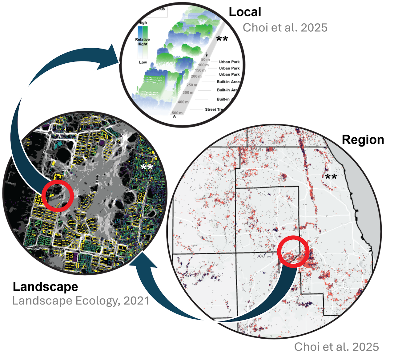
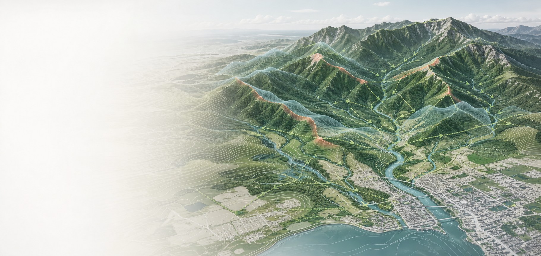
ESI Lab은 원격탐사, GIS, 공간 모델링을 통해 다중 스케일 경관의 역동성을 과학적으로 이해합니다. 경관생태학·생물다양성·조경학을 연결해 지속가능한 환경 계획과 바이오필릭 디자인을 위한 해법을 연구합니다.
Three ways of seeing
현장 근거를 공간적 통찰로 전환하는 통합 워크플로우로 생태적 의사결정을 지원합니다.
EARTH OBSERVATION
SPATIAL INFORMATION
DATA-DRIVEN INSIGHT
Funded Research
ESI Lab이 참여하거나 주관하는 연구과제입니다.
기후에너지환경부
세부 1 참여연구
경기연구원
주관 연구
한국연구재단
개인기초연구
조교수 · 공학박사
Landscape Ecology · Remote Sensing · Urban Ecology · Ecological RestorationLandscape Architecture Program, School of Life Resources, College of Bio-convergence, Dankook University단국대학교 녹지조경학전공 조교수
Postdoctoral Research Associate, Purdue University
서울대학교 협동과정조경학 공학박사
서울대학교 환경대학원 조경학석사
Lab Members
 01
01국립공원 원격탐사 · 회복탄력성
 02
02생태조경관리 · 도시환경설계
 03
03원격탐사 · Nature-based Solutions
 04
04생태계 서비스 · 생태계 동향 탐구
 05
05생태계 서비스 · 생태조경
Field Notes
학술대회와 현장 조사, 새롭게 시작된 연구의 순간을 기록합니다.
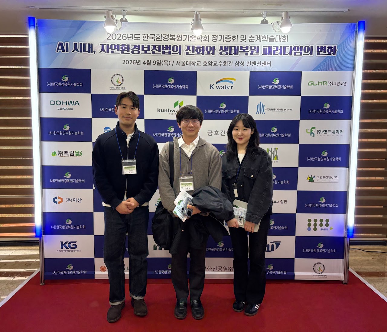 Conference01
김강희·이정주 학생이 고해상도 위성영상과 경관 연결성을 활용한 도시열섬 네트워크 연구를 발표했습니다.
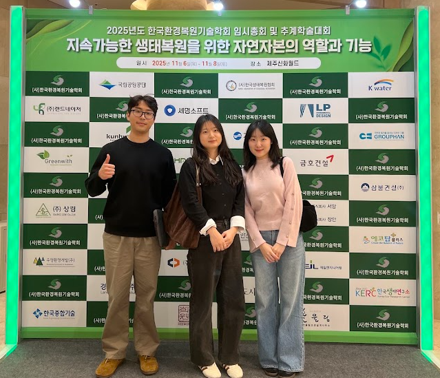 Presentation02
김강희·이정주·진주희 학생이 참석했으며, 진주희 학생이 항공 LiDAR 기반 도시열섬 완화 연구를 발표했습니다.
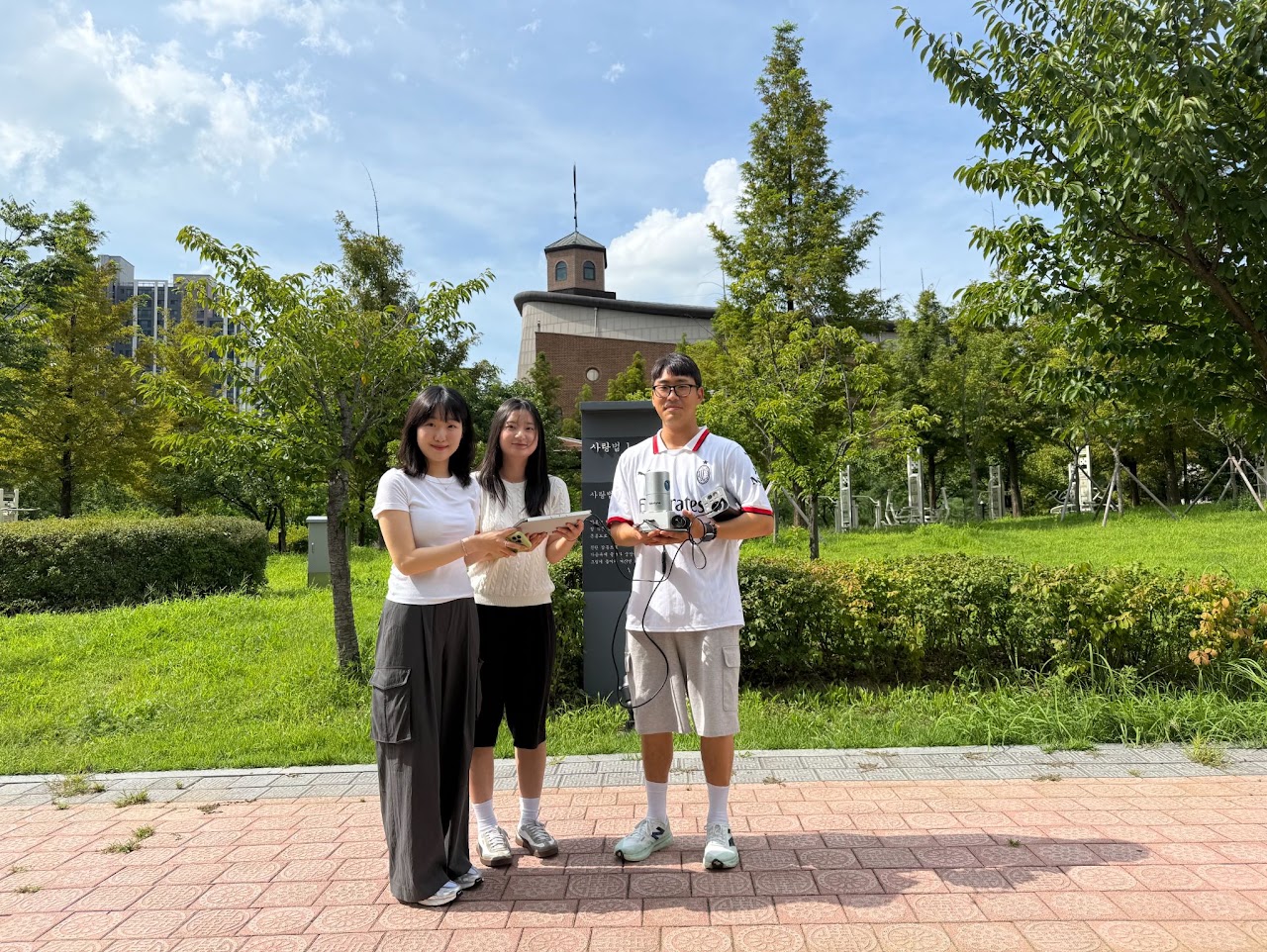 Fieldwork03
도시공원의 생태적 기능을 정량 평가하기 위한 기초자료로 LiDAR 데이터를 수집했습니다.
Selected Research
Ardohain, C. M., Choi, D. H., Grong, K. A., Huang, Y., Lyon, N. S., Park, S., Shao, J., et al.
Thapa, B., Darling, L., Choi, D. H., Hardiman, B. S., & Fei, S.
Shao, J., Choi, D. H., Liu, J., Tian, X., Thapa, B., Lee, S., Habib, A., & Fei, S.
Benware, M.-M., Collins, G., Seest, E., Choi, D., McAdam, S., Hardiman, B., & Furze, M.
Choi, D. H., Morton, I. S., Darling, L. E., Wang, J., et al.
Choi, D. H., Darling, L., Ha, J., Shao, J., Song, H., et al.
LaRue, E. A., Rezendes, K. M., Choi, D. H., Wang, J., Downing, A. G., et al.
Fahey, C., Choi, D. H., Wang, J., Domke, G. M., Edwards, J. D., Fei, S., et al.
Wang, J., Choi, D. H., LaRue, E., Atkins, J. W., et al.
Thapa, B., Darling, L., Choi, D. H., Ardohain, C. M., Firoze, A., Aliaga, D. G., et al.
Ha, J., Choi, D. H., & Darling, L. E.
생태 모니터링 AI/ML 및 조경 계획을 위한 원격탐사에 관심 있는 학부·석사 연구원을 찾습니다.
단국대학교 천안캠퍼스 생명자원과학대학 305호
+82 41 550 3631